Maps
 Finding decent maps on the Sinai can be an orienteering challenge in itself. Everything worth anything you do find will be at least 30 years out of date. New settlements, roads etc won’t be marked and water sources, once full, might now be dry. But even with an old map you’ll still know place names, heights and major camel routes; your surroundings will mean more. Google Earth is useful: but you won’t be able to navigate the Sinai with it alone. Its images don’t show water – which you need – nor routes over rocky terrain etc; which is to say, a lot of places. GPS – with pre-recorded tracks – can be good but don’t rely on it. A good Bedouin guide is a map, GPS and satellite image combined and his info will be UP TO DATE. If you DO want maps, here are a few options:
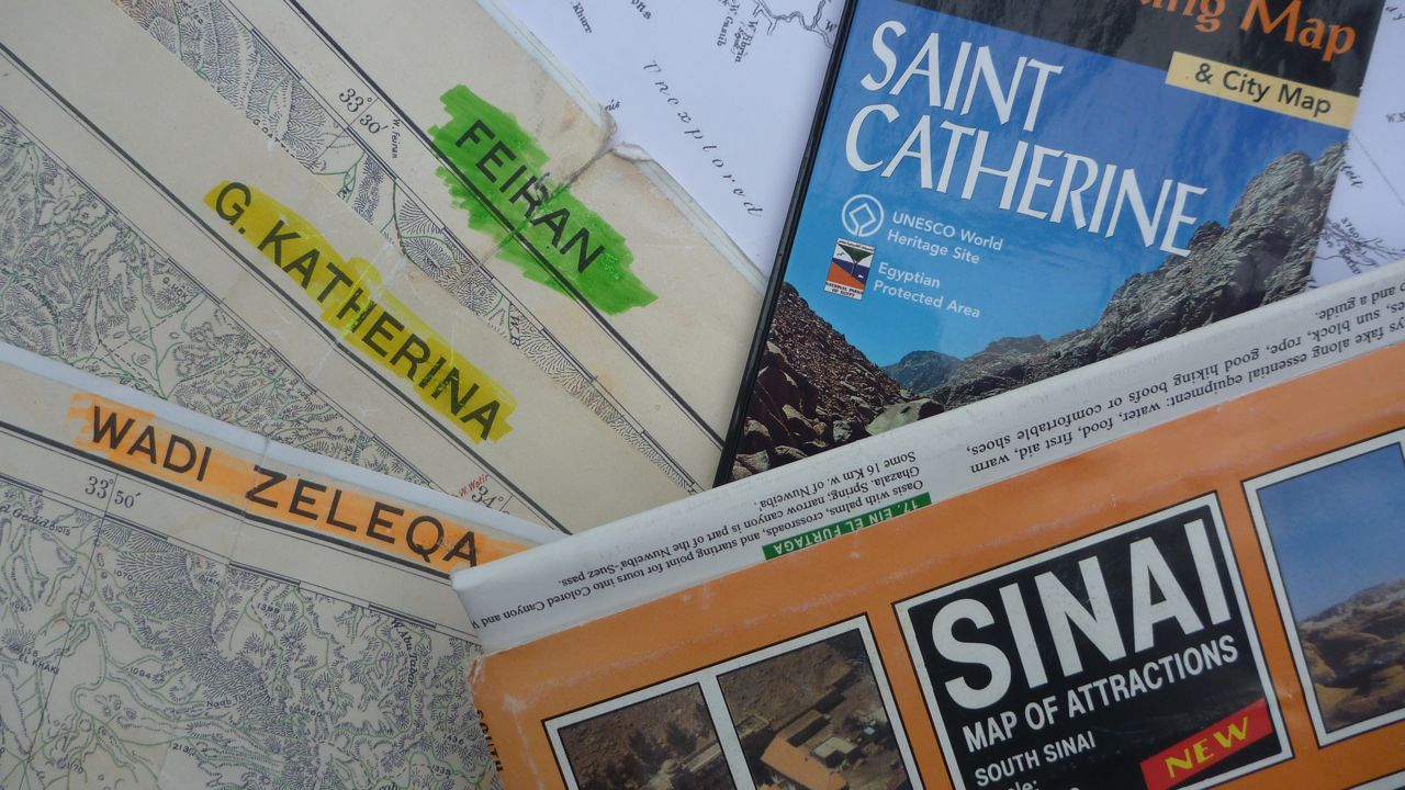
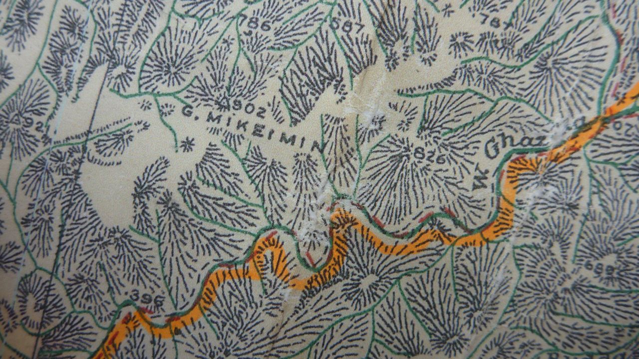 BRITISH SURVEY OF EGYPT, SOUTHERN SINAI, 1;100,000 – Published in the 1930s, these are the highest scale English language maps available. They don’t have contours and accuracy is lacking in places, especially in mountain areas. However, they’re pretty good for navigating the big, easy wadis in lowland regions. You can get paper copies from the Royal Geographical Society in London: there are 12 separate sheets, with each sheet costing about GPB£10 (US$15). Being paper, these maps can get damaged pretty fast, so laminate them before you leave or just take extra care on the trail.
 SURVEY OF ISRAEL, 1:100,000 – The Survey of Israel made great maps of the Sinai in the 1970s. The best was a 1:100,000 map, with accurate co-ordinates, contours and a full overlay of English names. Unfortunately, you can’t buy it any more. You can still see it in library archives in the UK – and probably elsewhere – but you can’t take copies. A 1:250,000 Israeli map is the next best available but it’s more a coffee table map; one for planning adventures at home, rather than routefinding on the trail: a derivative version called the Sinai Map of Attractions is available today, shown above.
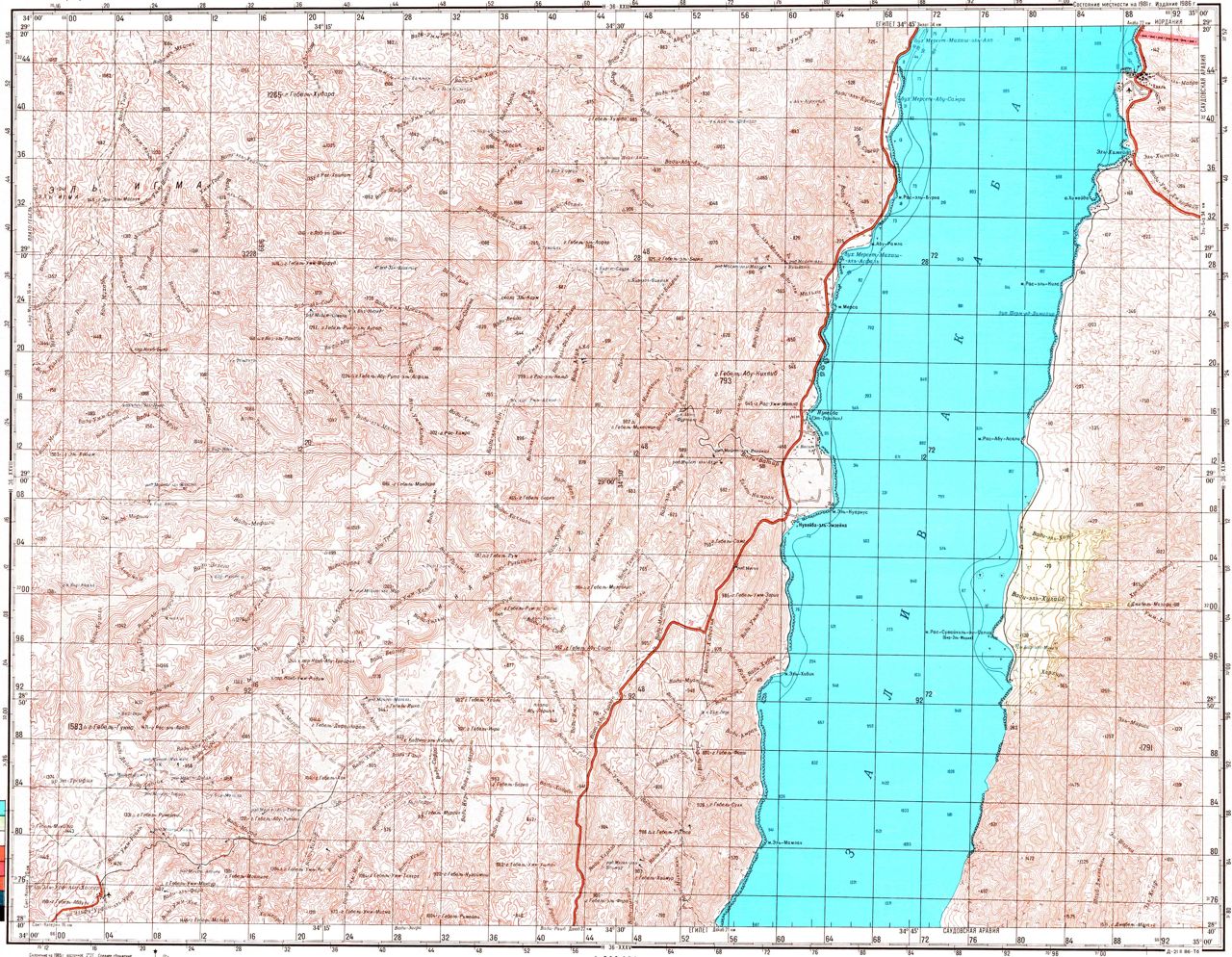 RUSSIAN MAPS, 1:200,000 – Similar in detail and accuracy to the Israeli maps, but with everything in Cyrillic. The big plus point is that you can see these maps online. And they’re so detailed, you can actually zoom into a higher, more usable scale. Click HERE or on the map to the right and you’ll go to the website. Find the small English title at the bottom left of the homepage reading ‘Soviet Military Topographic Maps’. Click on the 1:200,000 link below it and a page will come up showing a world map with a red grid over it. Click on the relevant Sinai squares and go from there. With a smart phone and enough battery, you could use this pretty well on the trail.
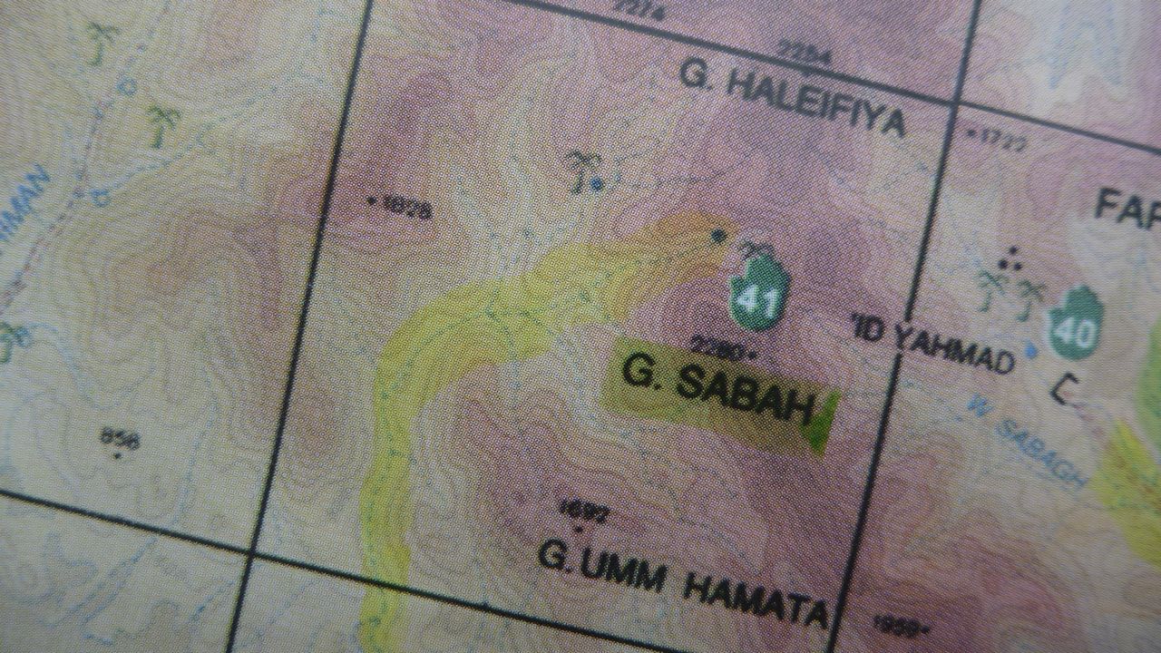
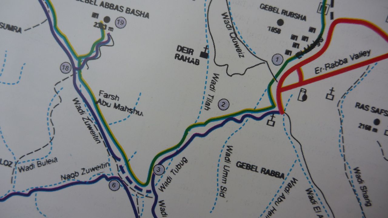 OTHER MAPS – A map of the High Mountain Region around the town of St Katherine – based on the high-scale Israeli maps – is widely available. You’ll find it in the inset of the Sinai Map of Attractions – mentioned above – which you can buy in the Sinai. Some versions don’t have contour lines – like the one on the right – which limits their use in the mountains. Another good map that came out in 2011 is the Saint Katherine Trekking Map, by Geodia. It’s at a higher scale than most others and you can buy it from bookshops in Dahab. The drawback is that it doesn’t cover areas outside St Katherine: and, as it goes, these are the ones where a map could be really useful!
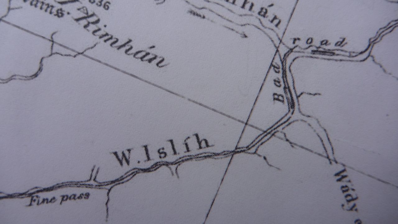 AND AS WE’RE ON MAPS – and because I spend so much spare time poring over maps in libraries and would feel it an injustice to Sinai maps not to bring this to light, my favourite map of all is the Ordnance Survey of Sinai map, published in 1869. There are two versions – one shaded and the other clear – and neither covers the whole of the Sinai. They focus on the west side – the most interesting side – but even then huge areas on the map are still marked, intriguingly: UNEXPLORED. Those areas that were explored, were explored well; everything from camel routes, to old wells, springs, ancient paths, archaeological sites and geolgoical info was put down. It was the first real stab at cartography in the Sinai and it laid the foundations for the map-making ventures that followed.